
Spatial Computing
My spatial computing practice sits at the intersection of fieldwork, immersive media, and ethical data visualization. I work with LiDAR, photogrammetry, Web3D, and XR tools to translate remote, climate-sensitive environments into experiences people can understand and access. My focus is less on novelty and more on how technology can communicate clearly, responsibly, and with care for the communities connected to the land.
Methods
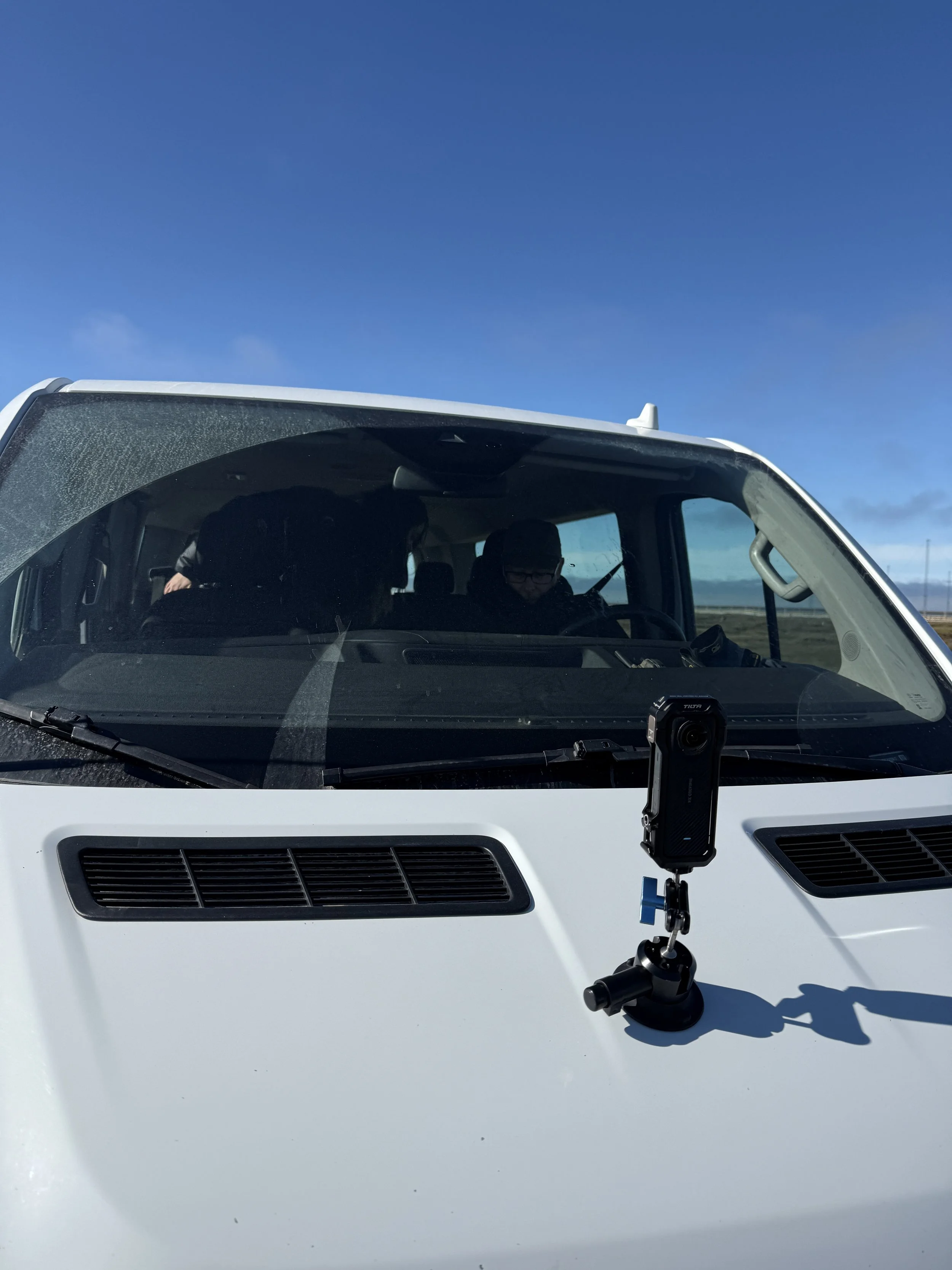
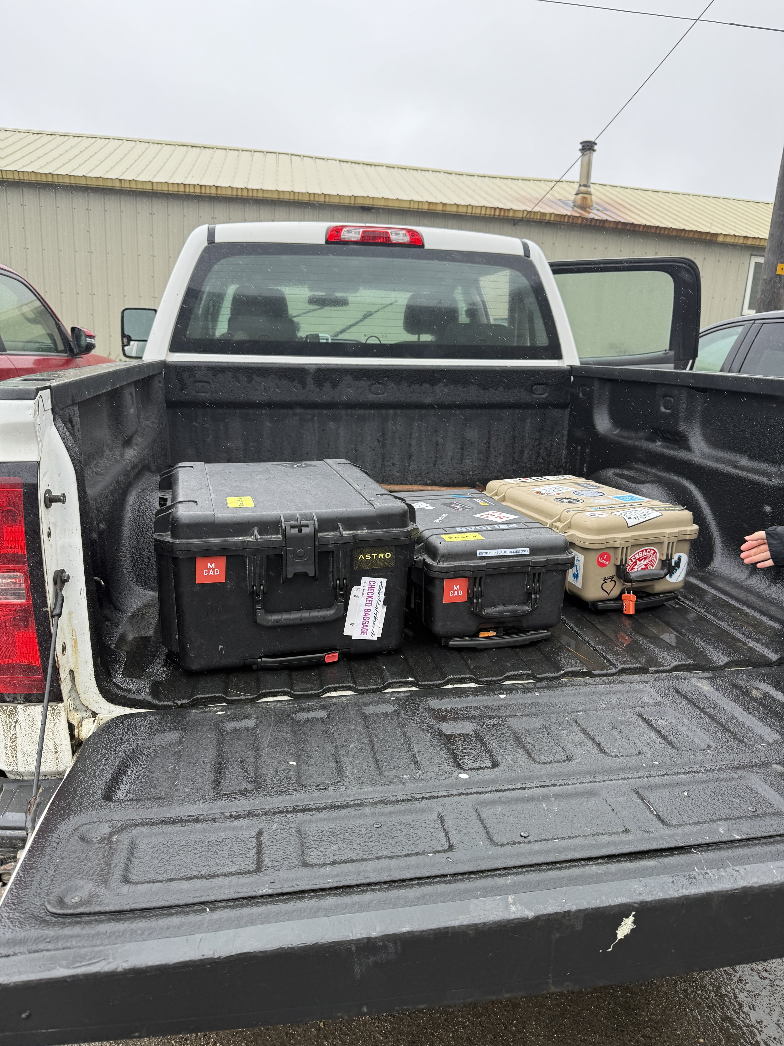
My workflow includes terrestrial LiDAR scanning, photogrammetry, UAV mapping, 360° capture, and Web3D/XR prototyping. I build lightweight digital twins, interactive viewers, and immersive walkthroughs designed for accessibility, not exclusivity.
Approach / Ethics
I use spatial computing as a way to reduce barriers, not reinforce them by creating immersive tools that remain open, human-centered, and grounded in the places and communities they represent.
Why Spatial Computing?
Growing up in rural South Dakota with limited access to technology taught me how transformative it is to encounter data in a form that feels welcoming. Spatial computing lets me combine fieldwork, storytelling, and technical rigor to build tools meant for real people, not just labs or institutions.